We are big proponents of using the best software to take care of the job that we need to do, in many cases that is in the form of COTS proprietary software or it may also be using some specific automated tool designed for aviation but there is also the option to use open-source tools on top of which you may even create your bespoke solution.
For several years we have been exploring using QGIS for aeronautical information management (AIM), aeronautical charting and Instrument Flight Procedure Design (IFPD). We use it daily in our own consulting services since the very start and we have found it can do all of the things we are required in terms of analyzing obstacles, performing data analytics and producing aviation charts!
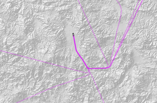
There have been many people that have reached to us over different channels requesting information on how they can also leverage QGIS for their workflows and one that pops quite often above the radar is the use of QGIS for PANS OPS! Yes, you may already have a very automated tool but have you ever found the need to preprocess data, to change the format of some digital terrain model (DTM) or to create some geo reference imagery to be able to ingest into your automation? This is where the course we are preparing to launch on the first week of December will definitely help out.
We have already a fully booked session for the first iteration Dec 4-5 even before we were able to really market it so we have decided to open a back to back session the following two days on Dec 6-7.
If you want to learn more about how QGIS can be leveraged for Instrument Flight Procedure Design then visit the link and drop us a line!


2 Comments
Ravi Bajah · October 18, 2023 at 11:43 am
Please share to cost of the training
flyght7 · October 18, 2023 at 2:39 pm
Good day Ravi, you can get the information here https://flyght7.com/training/qgis-introduction-for-instrument-flight-procedure-design/